

Example Routes
The following are examples of routes that you might take to complete the challenges but they are just to give you an idea. Remember, they are NOT set routes – you can complete the challenge any way you like and using any route you like as long as you complete the set challenge – for instance you ride all the climbs that are stated in the challenge, but by any route of your choosing, whenever you would like to ride it!
Haytor Triple
Here is an example of the Haytor Triple route as I personally like to ride it. The route shown here starts and finishes at the main car park in Bovey Tracey, climbs up the Green Lane route first, then over Haytor, left at the mini ‘triangle’ by the cattle grid to Cold east cross and down to Bickngton. From here you pass under the A38 to climb Haytor from Bickington to join the road from Liverton and over Haytor for the second time. This time you carry on and bear right at the mini’traingle’ then right again to pass the back of Hound Tor, turn right at Heatree Cross towards manaton and drop down past Trendlebeeer down all the way into Bovey Tracey to start your third ascent of Haytor from the Fire Station, past Parke and up the main climb all the way to the top car park at Haytor.
Enter the Haytor Triple challenge – On completion receive your MEDAL
£12.99 incl free p&p
KOM Dartmoor Big 4 Challenge
A climbing challenge based on the ‘Big 4’ Dartmoor climbs from the original top 100 UK climbs.
To complete this challenge you have to climb up all 4 of the following climbs (in any order) in one ride;
Rundlestone (All the way from Tavistock to the turn off to Princetown)
Dartmeet
Widecombe Hill
Haytor (from Bovey Tracey fire station to the top car park at Haytor).
My Ride
For this one I started on the other side of Dartmoor in front of the Town Hall (by the Pannier Market) in Tavistock. You could easily start elsewhere on this route – Yelverton, or Princetown for instance as both these options would give you a nice warm up before the first of the ‘Big 4’ hills!
Starting from Tavistock it is no time at all until the serious climbing begins. Within a mile you turn right onto the road to Princetown and start climbing with a couple of fairly steep sections to get you up onto the edge of the moor. It briefly flattens here, until the crossroads at Moorshop where you see Pork Hill and the moors looming ahead. It’s pretty open climbing up here, but thankfully this time it wasn’t too windy. With a headwind this climb is so much harder, but today the 10% incline was challenging but not too tough as it was early in the ride and I’d set off at a steady pace. As I reached the peak of Pork Hill and the road flattened the wind felt a little stronger, so across the top and down into Merrivale I didn’t get too much momentum up before the sharp incline up from Merrivale and past the stone rows on your right. The TV mast at Princetown comes into view as the road flattens – but it really drags on for a good mile, past Yellowmead Farm to finally crest at the turn off to Princetown at Rundlestone after 6 miles of climbing (most of the way) at a height of 1500 feet. Since starting at Tavistock I’ve gained about 1200 feet.
From here I drop down passing the dour grey stone institution that is Dartmoor Prison on my right and a couple of miles of rolling roads take me down to Two Bridges, where, after a brief up, the roads continue to roll, trending downwards until the East and West Dart rivers converge at Dartmeet just under 13 miles into my ride. The steep downhill that runs down to Dartmeet bends sharply and over a humpbacked bridge which means you lose all momentum before the second of the ‘Big 4’, Dartmeet Hill – sometimes known as ‘Coffinstone’. When I saw the Tour of Britain climb up this side of the hill a few years ago, the big names of the continental peloton made it look easy. It isn’t. This is my least favourite of the ‘Big 4.’ The most challenging for me, but some friends don’t seem to mind it so much. It’s steep. About 20% in places and a real grind. Similar in many respects to the next of the Big 4 today, Widecombe Hill, but for some reason, personally I find this harder. Puffing, panting and grinding over the top, I’m glad that’s over, but, yes, I decide, I did enjoy it in a strange kind of way.
Across the top for a short while before veering left, I drop into Ponsworthy to be faced by a much shorter but steep little climb on my way to Widecombe in the Moor – famed for the song about Uncle Tom Cobbley and all at the annual fayre. Past the quaint village green and Widecombe Hill starts all too soon. Almost immediately the road rears up like a wall in front of you and I stand once again in the lowest gear I have. It’s about half way up here that I remember this climb may be similar to the last one but is actually a little longer and gains more altitude than Coffinstone/Dartmeet Hill. For a few moments I decide I like this even less, but before too long, I start to get numb to the burning in my legs and I realise that my third climb of the ‘Big 4’ is almost over. This is definitely a decent challenge! Just as I start to pick up speed dropping a little from the top, I turn sharp left to descend past Hound Tor and take a right at Heatree Cross towards Manaton. It’s mostly downhill, with the aptly named rock formation of Bowerman’s Nose on the moor to the right, through Manaton. A little further along as you emerge from the trees after Becky Falls, the road really descends with some magnificent sweeping bends and the view open out towards the coast a dozen or so miles away. At the bottom of this one there’s a pretty sharp left hander then a short rise before you complete the descent past Parke to the roundabout at Bovey Tracey fire station.
For this ride I decided to go right down to and around the roundabout so that I feel I’ve completed the ‘whole’ of the Haytor Climb, but you could take a sharp right before you reach Parke. Bovey Tracey is a good place to find a cafe if you need a little refreshment but today I continue, dropping that extra third of a mile, circumnavigating the roundabout and retracing my steps for that third of a mile to take the left hand fork to Haytor. I start to climb the near 3 mile hill and am cheered by the thought that this is the last of the ‘Big 4’ I’ve challenged myself to take on today. Then I look at my mileage and realise that I’m only about half way on my ride – about 28 miles down with about the same to go to get back to my start point! This may be the last of the major hills but there are plenty of little ones still to conquer on my way back across Dartmoor.
These thoughts take my mind off the climb for a while and I reach the flatter section near Ullacombe Farm before I know it. I steel myself for the hardest part of this climb – the steep grind over the cattle grid, then temporarily soft-pedal past Green Lane where the road gets a little tougher again before dropping for a few hundred yards. The magnificent Haytor looms into sight now and it’s past the lower car park, where the gradient starts to increase one final time with a cruel little kick to end the climb at the top car park.
Haytor top car park can be a desolate place on a windy day, or a haven in the heat of the summer with it’s ice cream van, but today I barely glance at it as I look up to the Tor on my right and continue on my way across the top. I plummet down the 20% gradient of Widecombe Hill that I’d struggled up a little earlier, glad I don’t have to face it again today!
Once outside Widecombe I take a different road right towards Bellever and Postbridge. A couple of sharp inclines remind me not to get too complacent just yet, there’s still some tough riding on the way to complete my loop. Crossing my earlier route at Two Bridges, there are just a couple more kickers to take me into Princetown, a good choice for a coffee and cake, but not today. I’m at about 1400 feet, with about 11 miles to go. Now I really do feel like it’s all over bar the shouting as I descend off the moor to Yelverton, where I pick up the National Cycle Network (NCN 27), taking ‘Drakes Trail’ along the disused railway line. Riding over the reconstructed Gem Bridge and under ground in the Grenofen Tunnel, it’s off road, traffic free to the edge of Tavistock where I make my way past Drakes statue and back to my start point by the Pannier Market. A little under 60 miles, but over 6,000 feet of climbing, this has been a worthy challenge. Now it’s time for that cafe stop!
Enter the Dartmoor BIG 4 challenge – On completion receive your MEDAL
£12.99 incl free p&p
Yorkshire World Cycling
Ride at least 3 of the climbs from the 2019 UCI World Championship Road Race held in Yorkshire, the climbs featured in the 2014 Tour de France when it visited Yorkshire, or any of the top 100 Greatest Cycling climbs in Yorkshire to complete the challenge and claim your medal.
In one ride you must climb at least 3 of the following;
Buttertubs Pass, Fleet Moss, Grinton Moor, Cray, Tan Hill, Park Rash, Norwood Edge, Lofthouse, The Stang, Greenhow Lane, Holme Moss, Malham Cove, Langcliffe Scar, Shibden Wall.
The ride and route described below are what I call ‘Yorkshire World Cycling plus’. It was based on the main climbs from the 2014 Tour de France and the 2019 Yorkshire World Championships, plus I added in the mighty climb of Fleet Moss, just for fun!


My Ride
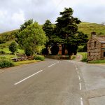
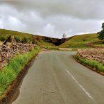
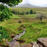
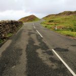
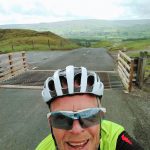
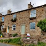
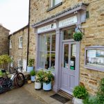
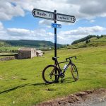
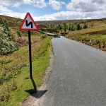
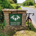
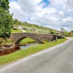
For my personal Yorkshire World Cycling challenge I wanted to take in what was due to be the 3 main climbs from the 2019 UCI mens Road Race World Champs to be held in Yorkshire – Cray, Buttertubs and Grinton Moor. (Due to very poor weather conditions Buttertubs and Grinton Moor had to be cut from the race). These same climbs were used when the 2014 Tour de France visited Yorkshire and so have become known in some circles as ‘Cote de Cray, Cote de Buttertubs and Cote de Grinton Moor! I started my ride from Kettlewell to follow this part of the route. The first climb, Cray starts at Buckden, just a few miles away, so my legs were barely warmed up after those 3 or 4 miles up part of Wharfedale, before I took the right fork following the B6160 up the climb of Cray towards Kidstones. It starts off gently rising from Buckden but before long kicks up to 15% as you pass the White Lion Inn. The gradient relaxes a little, briefly, before rising steeper through the sharp right and left hand bends – briefly nearing 20% before easing off over the top on open moorland. Nice and early on my ride, aided by a substantial side-tail wind I took the first of my challenges in my stride and flew down Bishopdale past West Burton to Turn left on the A684 towards Hawes.
Gently dropping initially there is quite a pull up to Aysgarth on this quiet A-road. From there the road trends slowly upwards along Wensleydale. All along this 10 mile section of the A684 I was blasted by a block headwind draining my strength far more than the climb of Cray had. I was glad to reach Hawes and turn north to Simonstone and the infamous Buttertubs. Known on Strava by many names (Cote de Buttertubs, Buttertubs Pass South climb etc) the the road climbs from Hawes for more than 3 miles starting with a little kicker soon after Hawes before turning to Simonstone where it gently rises initially past a handful of stone hewn buildings and between low stone walls synonymous with the Yorkshire Dales.
Curious towers of stone are visible on top of the hillside to the right as the road rears up to 18%. Are these the famous ‘Buttertubs’? A brief lull in gradient is soon followed by a further kick up to around 17% up to the cattlegrid, with the real Buttertubs on the right, where the road flattens then continues a little longer at around 8% to the ‘official top’ where a line and MG (Meilleur Grimpeur, or King of the Mountains) is still visible on the road.
The Buttertubs that the climb is named after are 20 metre deep limestone potholes where, on their way to market in hot weather, farmers are said to have rested and lowered their produce into the potholes to keep it cool.
Across the top of the moor the road gently rises, drops steeply before one final kick up. With Great Shunner Fell to the left the view on the right opens up to reveal a stunning Swaledale in all it’s glory as I constantly fight the bike down what would have been an incredible descent (Buttertubs climb from the north) on a less windy day. I’ll have to come back another day to enjoy the well earned descents!
All along Swaledale a combination of a strong tailwind and a general trend downwards speeds me to Reeth, passing more houses and businesses festooned with yellow bikes presumably left over from the 2014 Tour de France, Tours de Yorkshire and welcoming cyclists to the area. The Old Dairy in Low Row is ahead of the game with a World Championships jersey displayed over an ancient milk churn.
40 miles into my ride it was time for a coffee break in Reeth. After looking around I settled on the quaint Copper Kettle Tearoom. This turned out to be a great choice – excellent coffee and service and a bike riding owner who was happy to chat about where I’d been, where I was going, the ride he had planned for the next day etc.
Suitably refreshed I headed to Grinton. Where the B6270 bears left by the Bridge Inn you carry straight on (in effect turning right) and start to climb through the few houses in the village onto open moorland. Straight on here (the Redmire climb takes the right hand turn) the road soon eases as it passes Grinton Lodge YHA, then drops briefly to a narrow stone bridge before hitting 16% for about half kilometre, after which the gradient relents but drags on for quite some time.
This final drag was made tougher today by the strong side headwind, which continued to halt my progress down Whipperdale Bank past the firing range and even more so once I’d turned right towards Redmire. Tracking eastward again, I was riding into that block headwind once more!
I was off the Worlds route now, heading back to Hawes on a road parallel to A684 that I’d taken earlier, so that I could finish my ride by tackling the mighty Fleet Moss. The road through Redmire, past the imposing Castle Bolton, through Caperby, Askrigg and Sedbusk is more undulating than the main road and was really hard work in todays conditions. I was glad to eventually drop into Hawes for another coffee break about 63 miles into my ride, where I found Stage 1 cycles incorporating the Firebox Cafe attached to the Dales Countyside Museum and next to the old steam railway. More great coffee, pleasant cycling chat (I wasn’t the only one complaining about the wind today!) and my bottle refilled I set off for Fleet Moss on the final leg of my ride.
Fleet Moss wasn’t in the 2014 Tour de France, nor will it be in the 2019 UCI World Championships but it has a huge reputation. Called the hardest climb in the Yorkshire Dales and one of the top 10 hardest climbs in the country according to two different, highly respected cycling journalists, I had to give this a go! This was why I all but retraced my steps to Hawes, forming a figure of 8 on today’s ride rather than taking a much more direct, flatter and shorter route back to my starting point. If you’re looking to complete the Yorkshire World Cycling challenge, you don’t need to ride Fleet Moss to earn your medal, but I’d come a long way to ride in this amazing area, so I couldn’t pass up the opportunity.
Immediately after turning left you’re in Gayle, following the road through the gap between the houses to Kettlewell the road soon hits 20% before easing to a much more gentle ride through a scattering of farms tracking along Gayle Beck below and to your right. At first it’s just a gradual climb up Beggarmans Road and I was beginning to get into a nice rhythm when the full extent of the climb came into view. What a view! The road, almost dead straight, visible for miles ahead, starting with a gentle gradient then rising up steeper and steeper and steeper in giant steps to the top of the visible escarpment. As I slowly progressed up the lower, steadier slopes watching how long it took cars to come down the road put the length of the climb into perspective – this was going to take some time! After the interminable drag into the side-headwind I got to the steps where the road gets steeper and steeper. Each kick more fierce than the last, it’s hard to tell how steep it got, but it felt easily 20% as I finally dragged myself over what appeared to be the top…well it does plateau for awhile before one, thankfully brief 20% kick to a very exposed summit.
Once again, I struggled in a battle with the wind on the plunge down the other side – such a shame not to be able to enjoy it when a breathtaking descent was so well earned!
After dropping down to Beckermonds, where Oughtershaw and Green Field Becks, become the source of the River Wharfe, all that was left of my ride was to follow the chocolate box beautiful river down upper Wharfedale back to my start point at Kettlewell.
I’ve called this particular route Yorkshire World Cycling plus due the inclusion of Fleet Moss. Fleet Moss was a real sting in the tail, but absolutely worth it! The inimitable climb and return along upper Wharfedale make a perfect end to a real challenge in the Yorkshire Dales.
Enter the Yorkshire World Cycling challenge – On completion receive your MEDAL
£12.99 incl free p&p
KOM Surrey Hills Challenge
The 2012 Olympic Road Race and Ride London scaled some of these hills – are you up to the KOM Challenge? For our Surrey Hills challenge you need to ride in the heart of the Surrey Hills climbing at least 3 of the climbs listed below which are either from Ride London, or are in the top 100 Greatest Cycling Climbs;
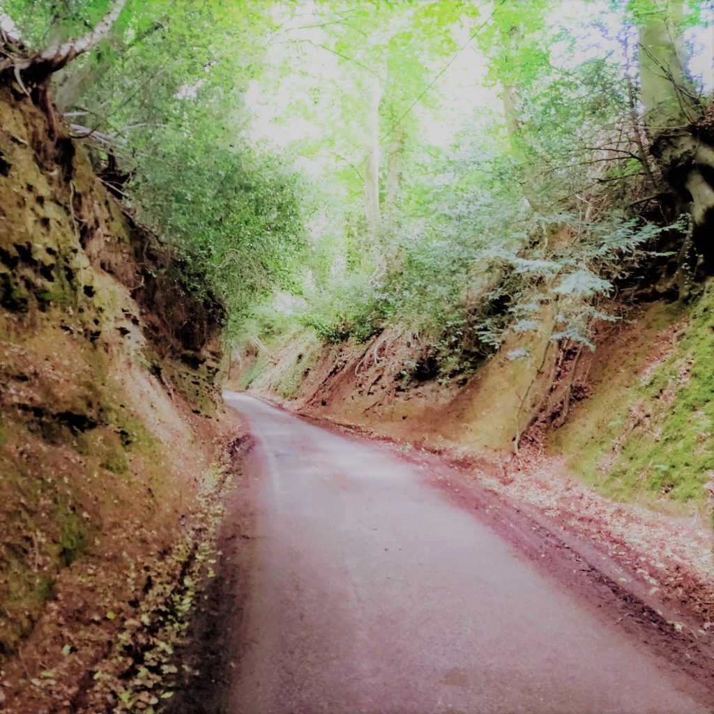
Newlands Corner, Leith Hill, Whitedown Lane, Coldharbour Lane, Barhatch Lane, Crocknorth Road, and of course the iconic Box Hill.
My Ride
Although you only need do the 3 top 100 climbs to complete the challenge, I wanted to make a good day out of it and see some more of what Surrey has to offer. There are plenty of tough hills around so I wanted to give a few more of them a go while I was here. You could probably complete the challenge in about 30-35 miles and about 3,000 feet of climbing (remember there is no set route, the route you choose is up to you!), but I took in 5 major climbs in 47 miles and climbed about 4,000 feet.
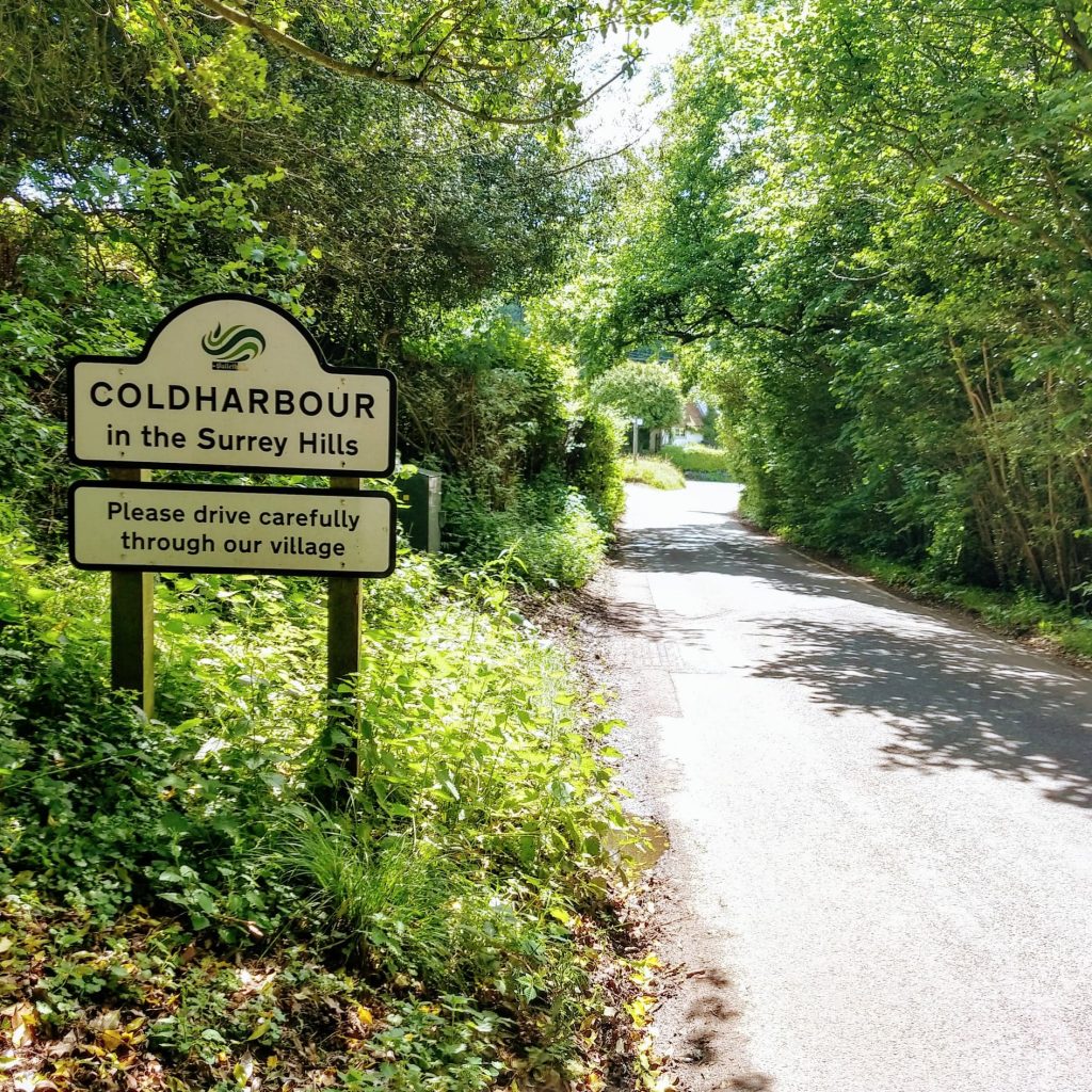
I set off from Dorking, following my pre-planned route through town and straight up Coldharbour Lane (aka Boar Hill) – the first of 5 big climbs I’d tackle today. This starts with a gradual drag before kicking up 3 times with sections nearing 20%. It’s tough to settle in to a rhythm if that’s your preferred climbing style, or nice to get those bits of respite between steep sections, depending on your preference. So close to the start of my ride, I was glad of the breaks when the gradient eased and soon passed the sign to the village.
My route took me all the way down to briefly join the A29 so that I could tackle my next challenge, Leith Hill right from the bottom. The A29 is probably best avoided. There wasn’t much traffic on it on the day I rode, but it does tend to travel a tad too fast. However, I wanted the full Leith Hill experience and cutting straight across from Coldharbour would have cut off most of the hill. Approaching right down from the A29 affords fantastic views of the hill and iconic tower too – the inspiration for the KOM Surrey Hills challenge medal.
This climb is 2 km in total, but starts nice and gradually before rising to around 10% as you take the right hand turn up Leith Hill Lane. It flattens for a while before steepening again to about 12 or 13%. There’s a slight easing of the gradient around where Tanhurst Lane comes in from your left but Leith Hill continues to sap your strength, with it’s heavy surface at about 10% all the way up to the top with the car park on your right.
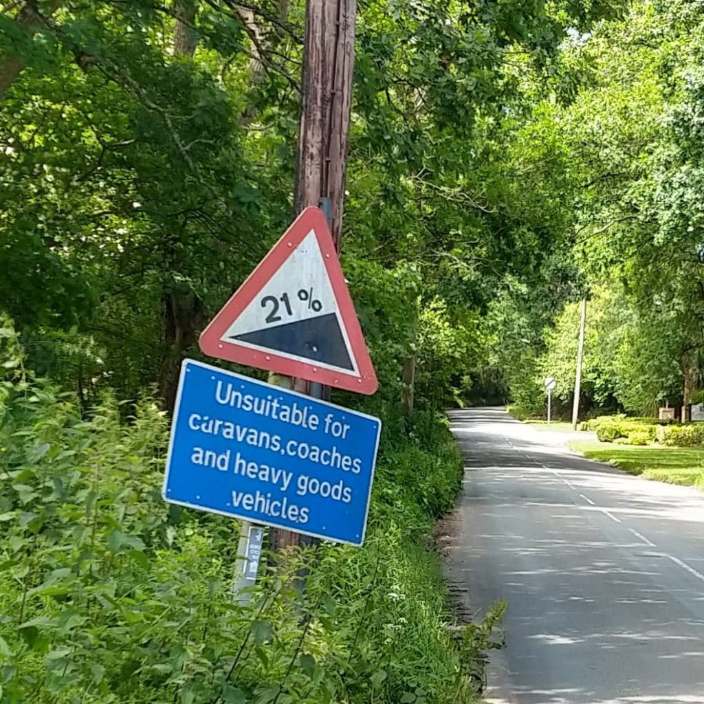
I started to drop down the other side, but soon after some rough S-bends I took a sharp left and headed to Ewhurst then Cranleigh to experience Barhatch Lane. I’d been told by a friend this was the worst hill around, so it had to be done! As you leave Cranleigh a sign warns you of the impending 21% gradient, but it takes a while to get there, starting at 5 per cent for a while, then gradually ramping up along its 2.5km (1.5 mile) length to 8 then 12% before the real sting in the tail where the road rears up in front of you to a lung busting 21%.
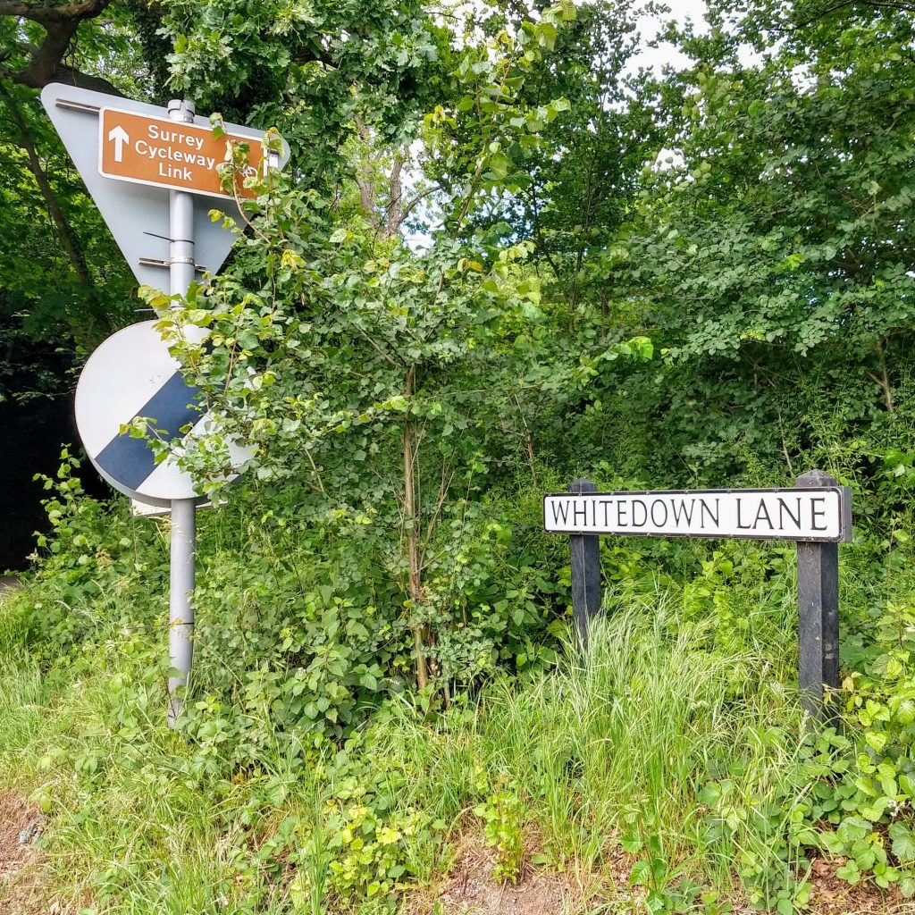
I dropped down through the beautiful Surrey villages of Peaslake and Sutton Abinger. Hoe Lane which joins the too was narrow and rough to say the least, but seems the best option to get across the A25 without having to ride on it, at Whitedown Lane, the bottom of the next hill.
Whitedown lane, or simply White Down is the second of the 3 top 100 climbs in this challenge and is indeed a worthy challenge! Perhaps it’s not quite as tough as Barhatch Lane (it doesn’t quite get so steep) but at this stage in my ride with the previous 3 climbs in my legs it felt just as hard today. Officially just under 2km, the first half is pretty easy. It’s only after you cross over the railway bridge at the hairpin bends where it gets really tough. It gets up to 20% at the hairpins then keeps on hurting as it grinds on at about 16% for a hard drag up to the top. I was glad to get over this one and needed the next few downhill miles to recover, dropping off Ranmore Common before looping around to my final 2 climbs today, both of which I’d done before.
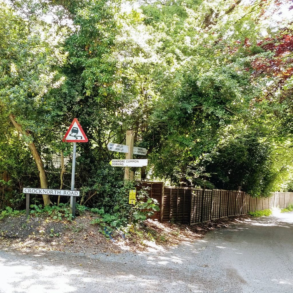
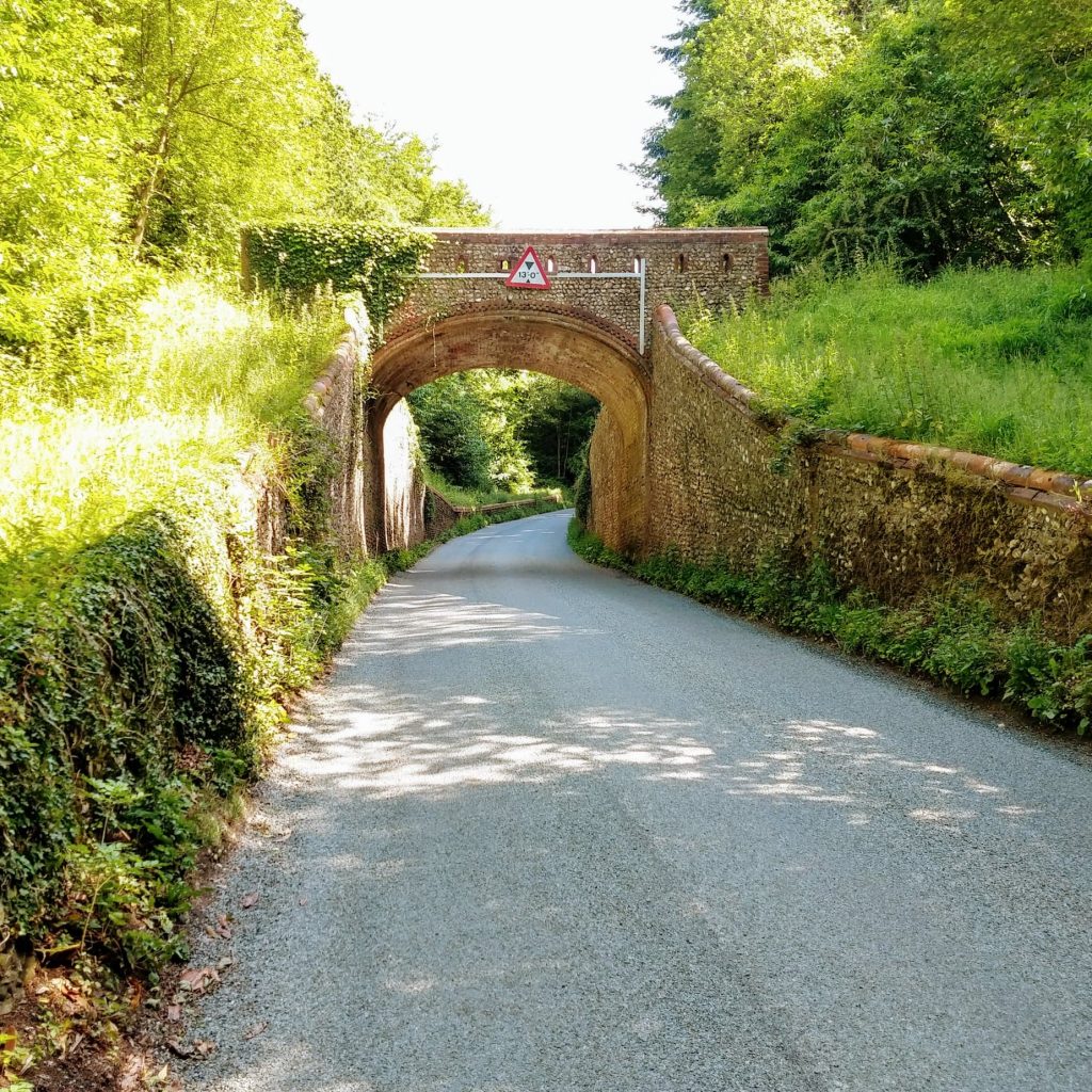
Crocknorth Road is relatively short, around half a mile at an average of 9%, but gets up to 16% before you pass under the bridge and climb back up to the common. A few rolling miles along the common before I took a left turn and down towards Westhumble to cross the A24 via the underpass on the Surrey cycleway to turn for my final challenge, Box Hill.
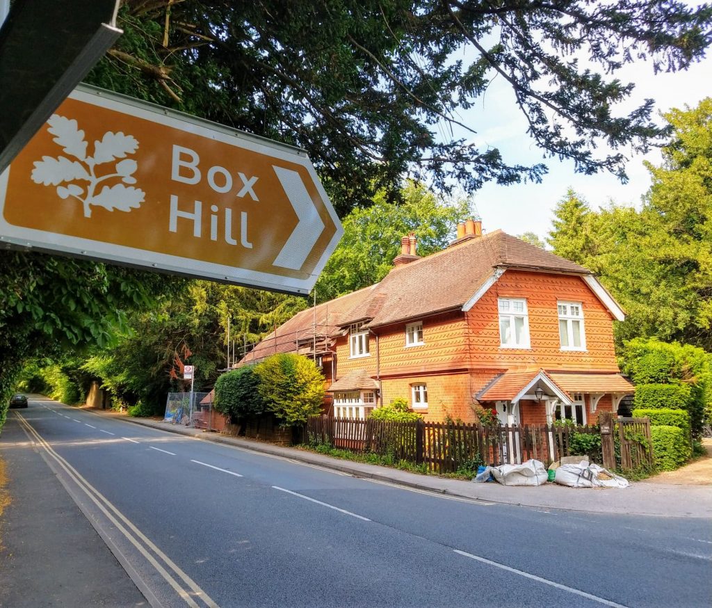
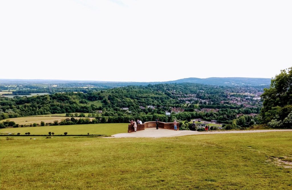
With an average gradient of just 5%, and nothing much steeper Box Hill was refreshingly easy compared to some of the inclines I’d had to contend with. It has to be said, it’s not a massive test, but is certainly pretty with its hairpin bends, smooth road surface and great views along the way. I was glad I’d saved this for last today. A hill I could enjoy rather than grind my way over!
After a couple of photo stops I wound my way back down to the A24. Thankfully there’s a cyclepath at he side of the road all the way intro town which I followed rather than battling the rush hour traffic to finish my ride.
Enter the KOM Surrey Hills challenge – On completion receive your MEDAL
Medals are HERE NOW!
£12.99 incl free p&p






KOM Peak District challenge
This is a challenge to test those climbing legs – to complete this challenge you will need to ride any route in the Peak District which includes at least 3 of the following iconic Peak District climbs which include some from the UK’s top 100 climbs
Cat and Fiddle, Holme Moss, Winnats Pass, Mam Tor (aka Mam Nick), Peaslows, Burbage Moor, Curbar Edge, Monsal Head, Rowsley Bar, Riber, Ewden Bank (aka Deliverance)

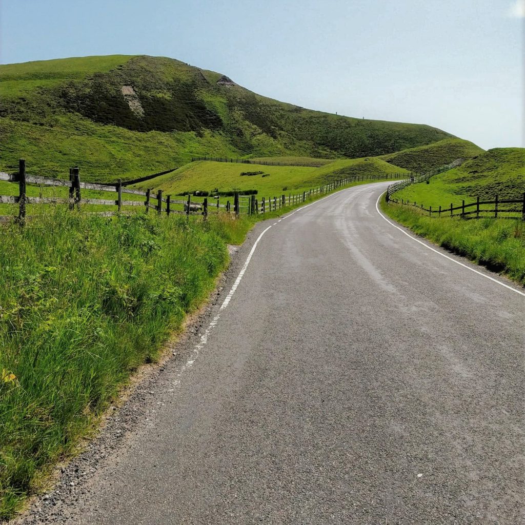
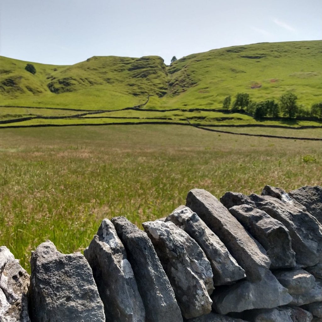
My Ride
I started my recce of the KOM Peak District Challenge in the village of Tideswell, dropping steeply into the pretty Monsal Dale. About 4 miles in to my ride came the first of my climbs, Monsal Head. It may be steeped in Hill Climb history and one of the 100 Greatest cycling climbs, but it wasn’t too much of a test, even so early on in the ride, at less than 500m long and about 16%. Simon Warren calls it ‘an unremarkable ascent compared to most’ and rates it 3 out of 10. It’s surprising it made it into the top 100 at all, but the view of Monsal Dale from the top is one worth seeing.
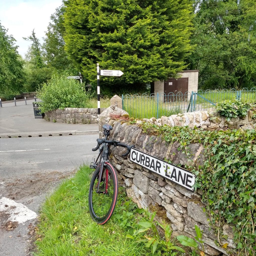
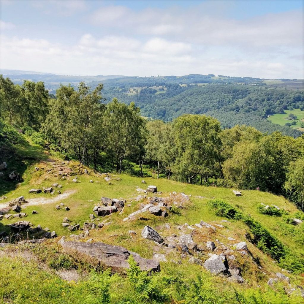
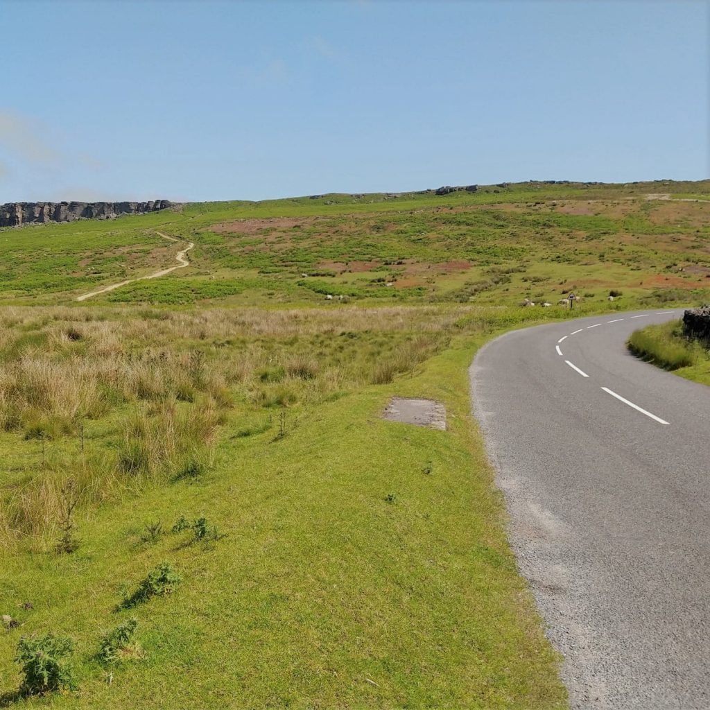
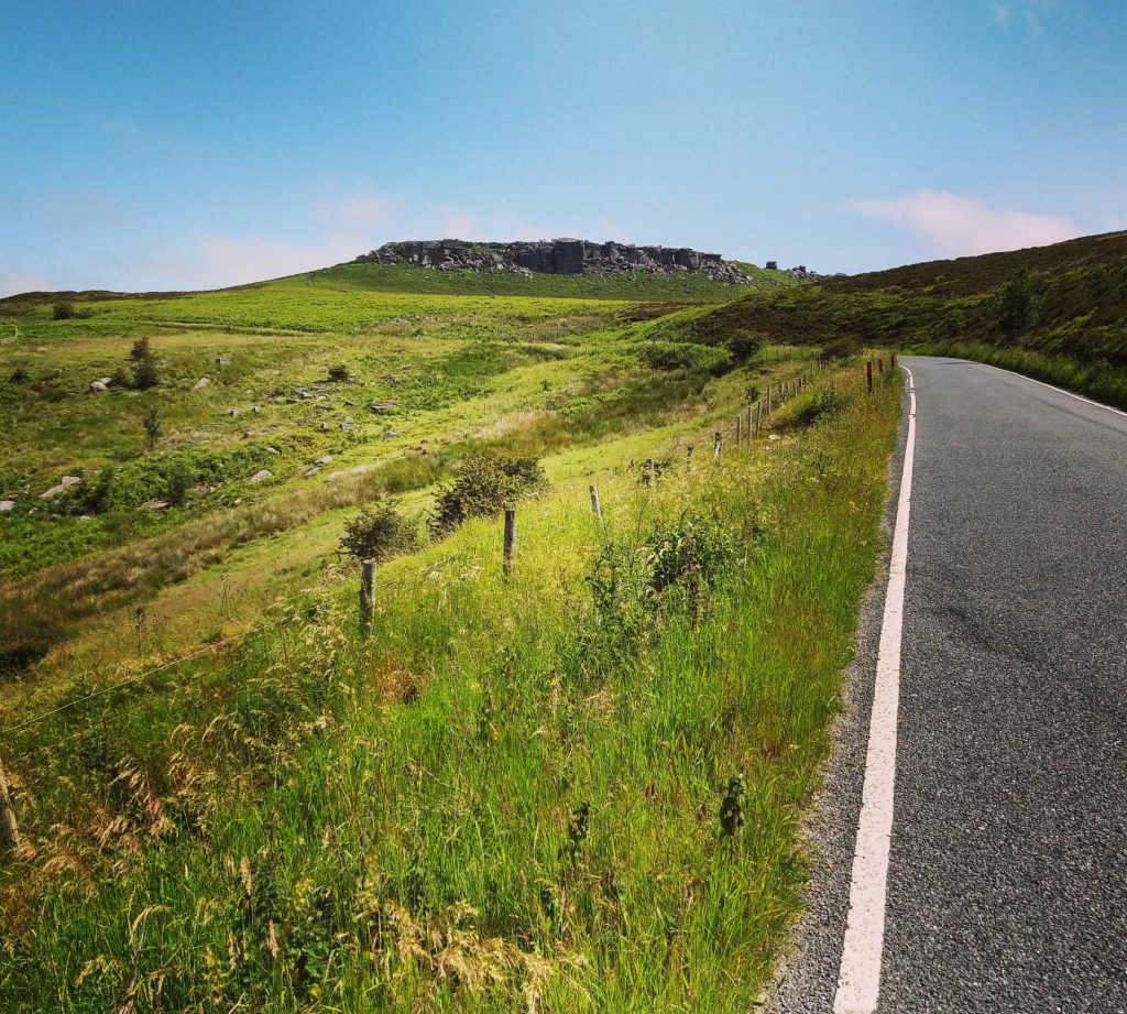
After half a dozen more rolling miles I’d passed Little Longstone, Hassop and Calver and found myself at the bottom of Curbar Edge. There are several gritstone escarpments or Edges in and around the Peak District and climbing up beside these outcrops is always a good challenge! The mile long climb of Curber Edge starts at about 16% until you leave the village, then drops to a slightly more comfortable 12 then 10% as you climb toward the edge itself and the road takes a right hand turn to guide you up and over in the gap between the cliffs. You’re up on open moorland now and have no choice but to join the relatively busy A621 which drags up for a mile or two, to Owler Bar where I turned left towards Hathersage. After negotiating a couple of turns around Fox House to keep me on track to Hathersage, I drop down a lovely seeping descent turning right onto ‘The Dale’ just as you enter the town, to climb Burbage Moor. This is a similar climb to the last one, starting off around 16 or 17% in places then easing a little and flattening as you turn first towards the end of Stanage Edge. The road then curves around sharp right up to Burbage Moor and the gradient rises back to around 10-12% to the top. On Strava this is 100 climbs no.128 (from ‘Another 100 Greatest Cycling Climbs’) and is officially 4.5km long, but in truth the climbing is done at about 4km, as you reach open moorland on the top.
I took a sharp right back down to join the same road as before briefly for the descent into Hathersage. This little loop back on myself was necessary to complete the climb and head towards my next challenges without either literally turning around or doing a very big loop on busy roads. It was only a mile on the same road descending into Hathersage where I stopped for a well earned coffee, about 25 miles and already 3 climbs into my ride.
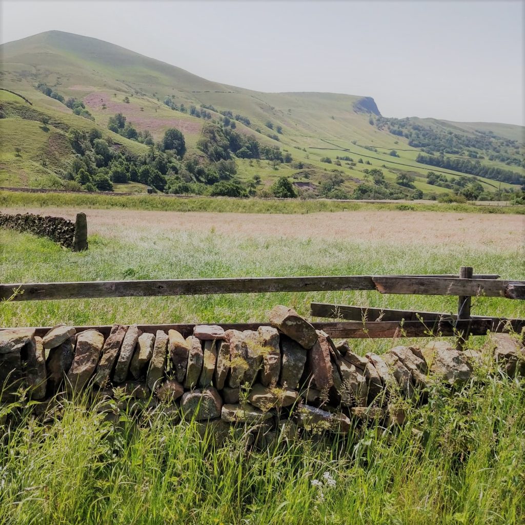
The next 4 miles were the flattest of the whole ride, along the road towards Castelton (A6187) which has a nice wide cycle lane on it for most of the way. In Hope I turned right onto Edale Road. The next few miles climb very gently following the River Noe and the Hope Valley railway line past Edale to Barber Booth. You’re in spectacular countryside now as you head up the valley with Lose Hill, Back Tor and Mam Tor rising skyward to your left and the mighty Kinder Scout ahead and to the right.
Just past Barber Booth the Hope Valley line disappears as it tunnels through the mountainside, but there’s no such luck for cyclists! The road drops very briefly to a bridge over the river, where you start to climb a good 2km up to Mam Tor (this climb is also known as Mam Nick). Its pretty steep in places, 15 and 16% lower down. The road is pretty hard going too, like all round here seem to be, so I was glad of the respite when the road finally eased at the S bends near the top. The average for this climb is 10%, but it felt harder. You are rewarded by spectaclular view though, both on the way up and as you pass through the gap in the rocks at the top and look towards Castleton and generally southwards. I dropped down to Sheffield Road and turned right to follow this right to the edge of Chapel-en-le-Frith where I turned right as if heading onto the A6, then right again, before joining it, to tackle no 37 in the top 100, Peaslows. At an average of 11% for about a mile what makes this climb so tough is it’s straightness. Once it slightly flattens after the short 14 or 15% section at the bottomyou see it all before you. As you drag yourself up the incessantly consistent 10-12% you seem to be going nowhere. The block headwind today certainly didn’t help! It just seemed to drag on an on until eventually I crested the deceptively tough climb and dropped to the village of Sparrowpit.
I took a left towards Castleton so that I could experience the monstrous Winnats Pass. Unfortunately my planned route tried to take me down a bridleway to loop around to the bottom of Castleton (thanks Ride with GPS!) so I had little alternative but to ride down Winnats Pass before coming back up it, without a huge detour, which I didn’t fancy with some very testing climbs in my legs!
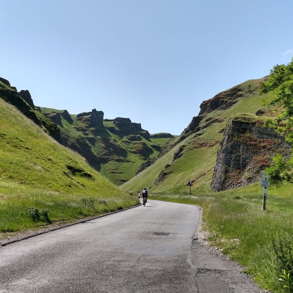
So I dropped down the very impressive Winnats Pass. The road gently winds down the gorge surrounded by high limestone ridges.
Depending on exactly where you start and finish this climb it’s around 1.5km long and is 20% for a good deal of that! The road signs at the top and bottom confirm this and my GPS topped out at 22%. It felt like it reached the maximum of 28% that Wikipeadia quotes, but I suspect that was due to what had come before! Either way Winnats pass is a true beast and one of Britains’ must do climbs. The scenery is absoluely breathtaking (whether you ride up or down it!)
My original plan was a looping route so that I could take in both Mam Tor and Winnats Pass without retracing my steps (with the added bonus of Peaslows!) but it turns out that was only possible using bridleways and a perfectly surfaced footpath. I could possibly have taken the bridleway – it didn’t look too bad a surface, but I wouldn’t ride on a footpath of course (it is illegal). I ended up retracing my steps down and up Winnats as well as the section to Sparrowpit, but experiencing both Mam Tor and Winnats Pass in the same day was well worth it. Of course if you do the KOM Peak District challenge you can choose to do just one (or neither) of these, but they are both incredible climbs in their own way.
The climbing was done for the day, and I certainly felt it. All that was left was to find my way back to the start. Again, I had to change my plans and ended up for a few miles on the very busy A623 which is not to be recommended! I turned off at my earliest opportunity back onto the quiet lanes crossing the ‘Limestone Way’ on my way back to Tideswell.
What a day! Some lessons learnt (plan more carefully, don’t trust RWGPS and check roads are roads before settling on a route!)
The Peak District has lots of varied, incredible scenery with some very tough climbs, plenty of beautiful cycling, highly recommended.
Enter the Peak District challenge – On completion receive your MEDAL
£12.99 incl free p&p


